Etsy
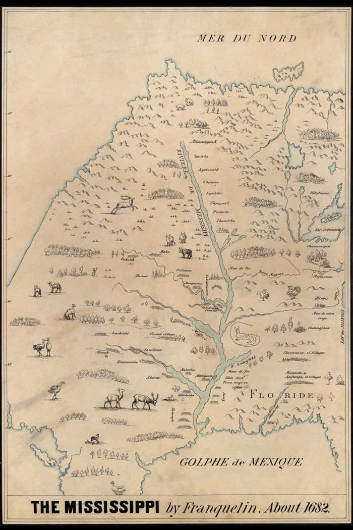
1682 Early Map of the Mississippi River Area
$44.00
In stock
Description
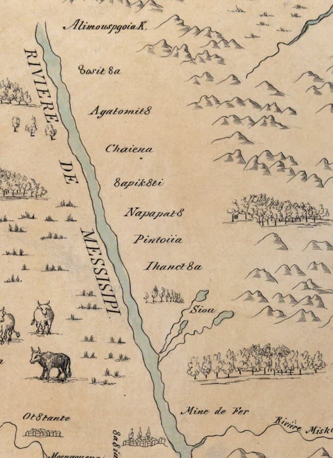
This 1682 map reproduction captures an early cartographic perspective of the Mississippi River region, rendered in full color on heavyweight archival paper built to last. Whether you're drawn to historical geography, educational display, or the aesthetic of vintage maps, this 20 x 30 inch piece works equally well framed on a wall or consulted for research. It arrives rolled in a protective tube, ready for your home or study.