Etsy
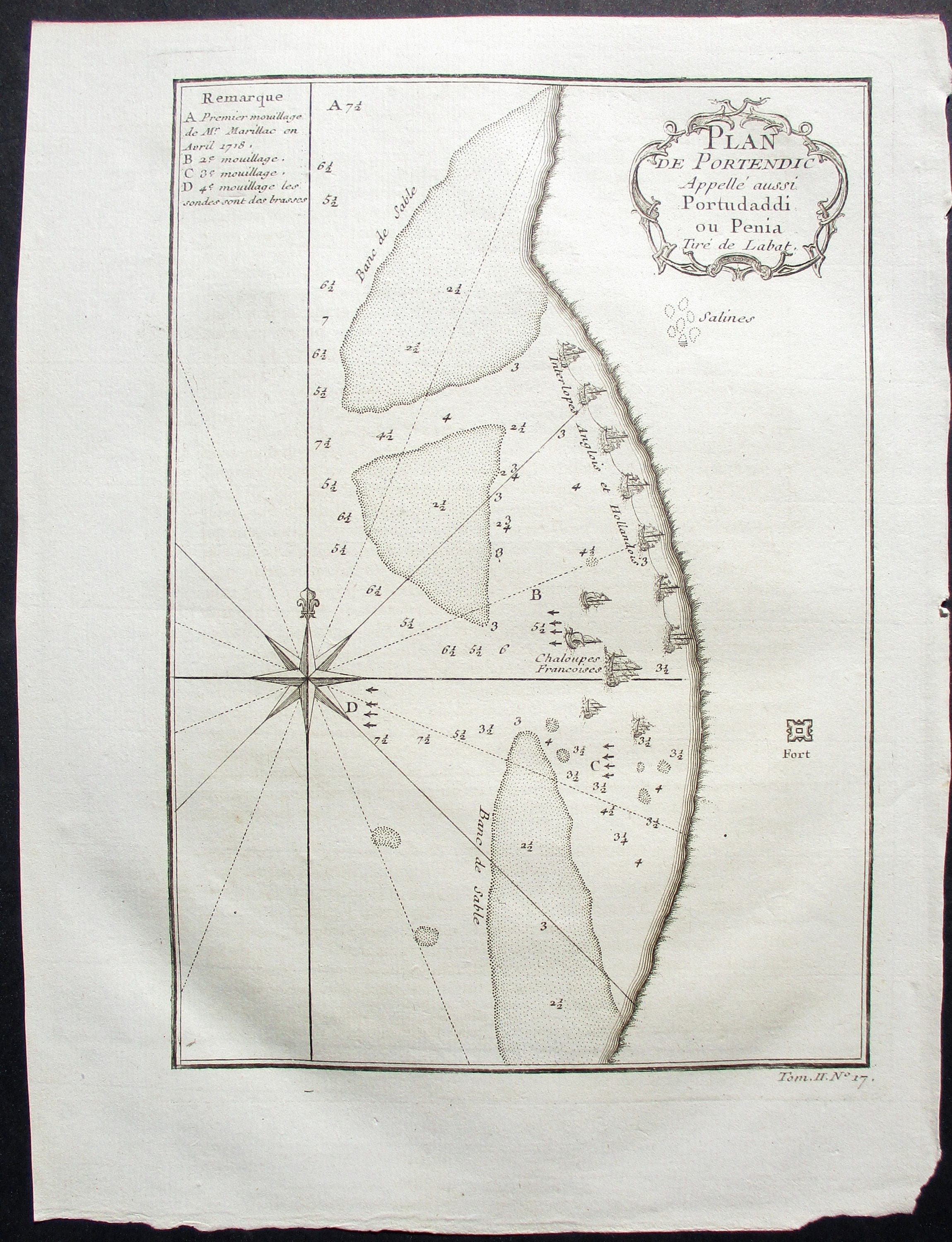
1750 Plan of Portendic, or Portu d'addi, Mauritania Africa Map by Bellin, Antique "Plan de Portendic appelé' aussi Portudaddi ou Penia"
$40.00
In stock
Description
This 1750 copper-plate engraving depicts the harbor of Portendic on Mauritania's western coast, rendered by Bellin from Jean-Baptiste Labat's detailed observations. Part of the ambitious *Histoire Générale des Voyages*, this original French cartographic work captures European maritime presence in West Africa, marking the positions of French, Dutch, and English vessels with the precision characteristic of eighteenth-century navigational charts. A striking historical artifact for collectors drawn to the geography and geopolitics of the colonial era, it arrives as an authentic period print on laid paper, measuring approximately 10 by 7.5 inches.