Etsy
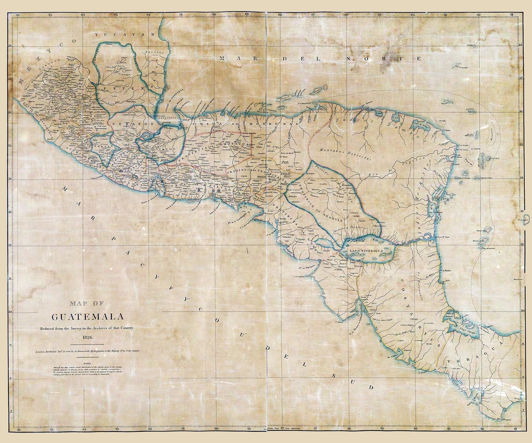
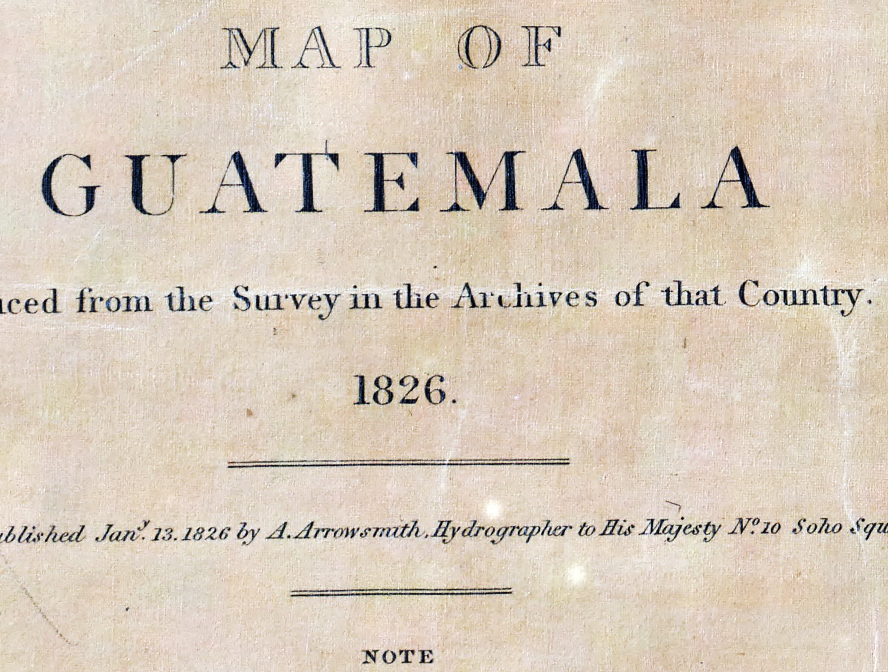
1826 Map of Guatemala
$39.00
In stock
Description
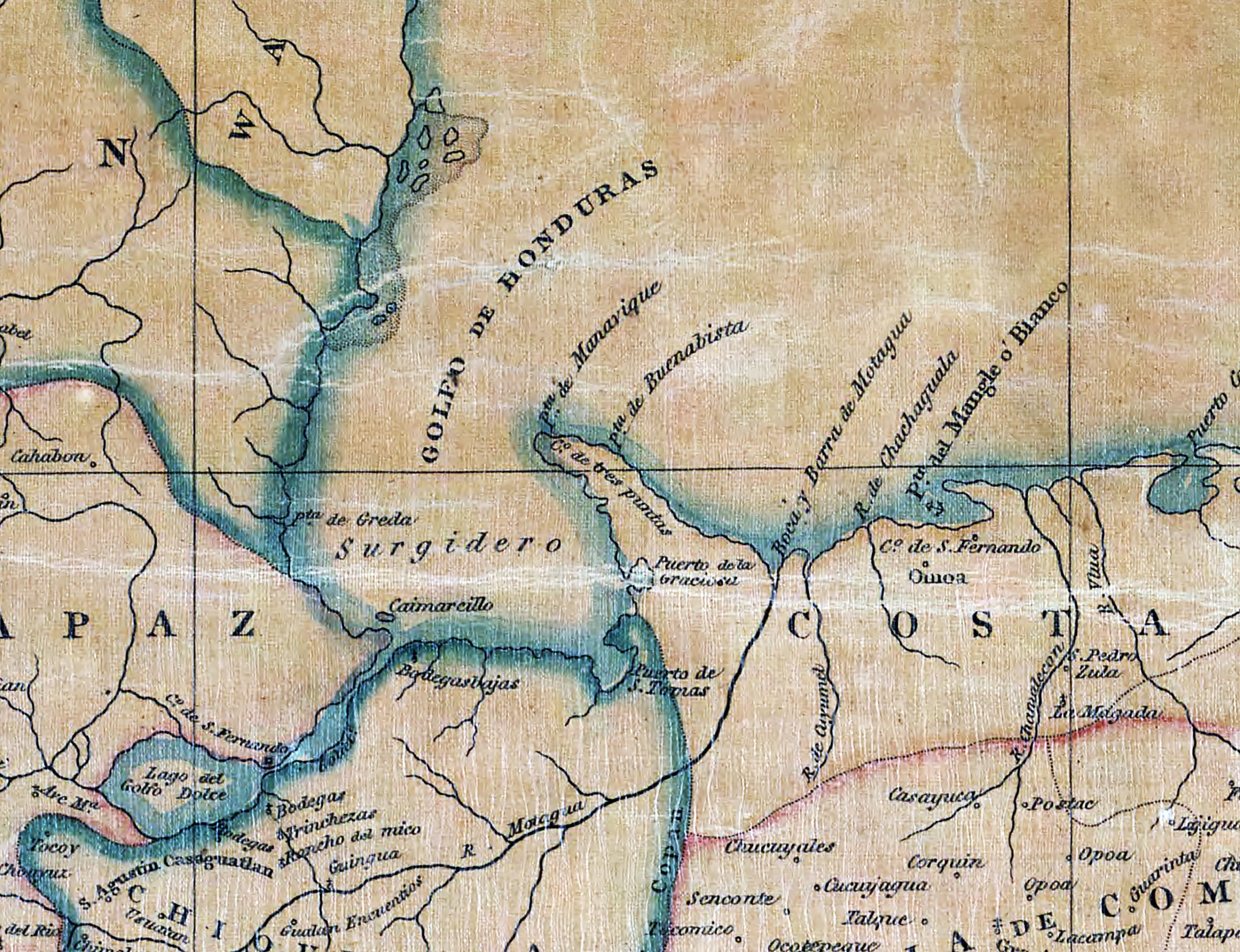
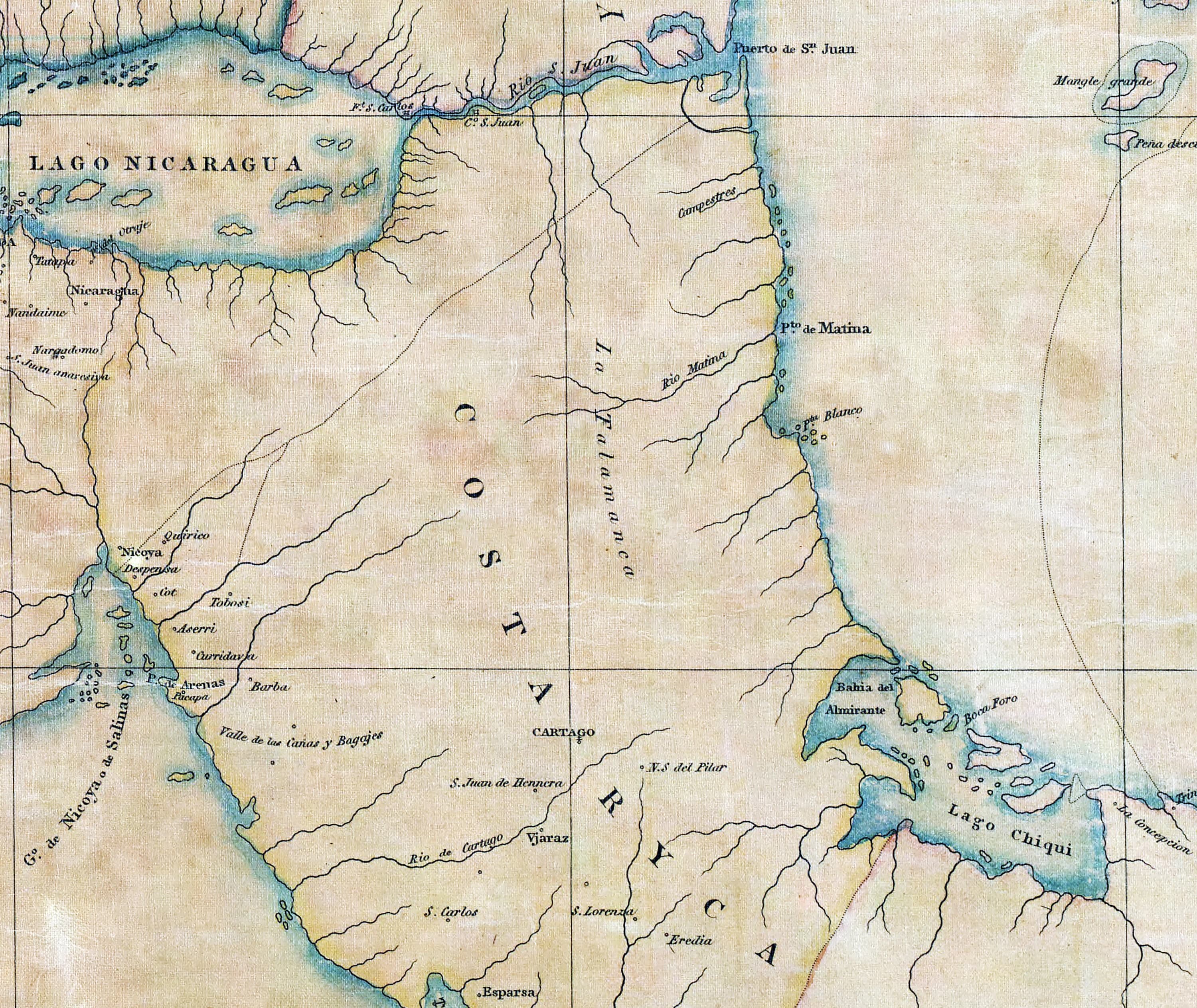
This 1826 reproduction map of Guatemala captures the region's geography with remarkable detail—marking cities, towns, waterways, volcanoes, and trade routes as they appeared nearly two centuries ago. Printed on heavyweight archival matte paper and available in canvas, it's built to last as both a decorative piece and a reference tool. Whether you're interested in historical cartography or displaying a meaningful connection to Central American heritage, this map arrives safely in a protective tube.