Private beta. Public launch Dec 31, 2026. Browse freely — feedback welcome at feedback@halalapalooza.com.

Halalapalooza
Home/Products/1849 Map New York City, Manhattan, Brooklyn, Atlantic Basin, Williamsburg, East River, Wallabout Bay, Gowanus Bay. Antique Engraved Map
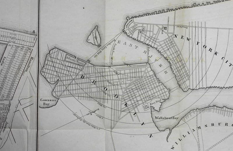
1849 Map New York City, Manhattan, Brooklyn, Atlantic Basin, Williamsburg, East River, Wallabout Bay, Gowanus Bay. Antique Engraved Map
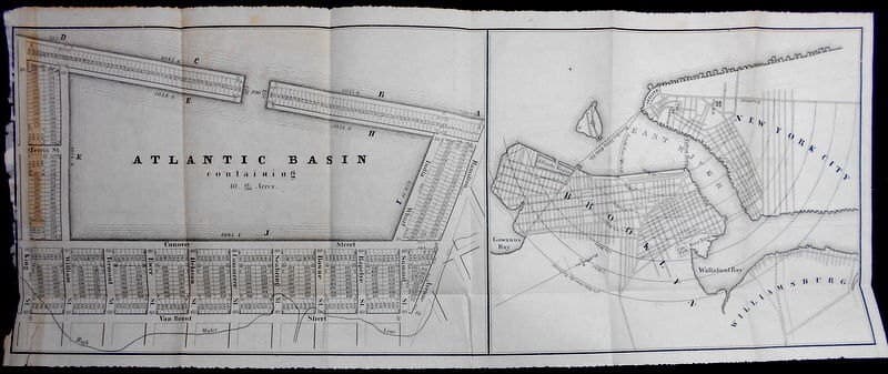
1849 Map New York City, Manhattan, Brooklyn, Atlantic Basin, Williamsburg, East River, Wallabout Bay, Gowanus Bay. Antique Engraved Map - image 2
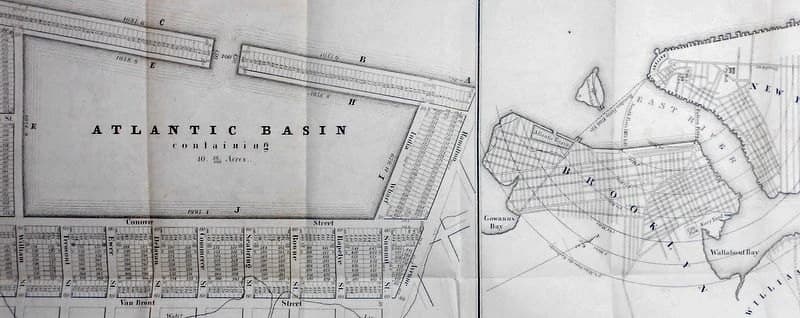
1849 Map New York City, Manhattan, Brooklyn, Atlantic Basin, Williamsburg, East River, Wallabout Bay, Gowanus Bay. Antique Engraved Map - image 3
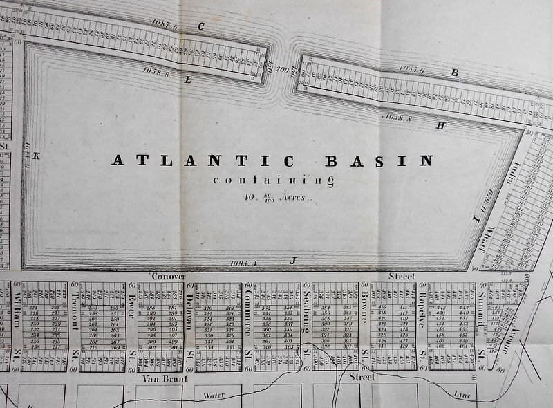
1849 Map New York City, Manhattan, Brooklyn, Atlantic Basin, Williamsburg, East River, Wallabout Bay, Gowanus Bay. Antique Engraved Map - image 4
Etsy

1849 Map New York City, Manhattan, Brooklyn, Atlantic Basin, Williamsburg, East River, Wallabout Bay, Gowanus Bay. Antique Engraved Map

$85.00

In stock

Description

This 1849 government engraving captures New York City's waterways and neighborhoods at a pivotal moment in the city's expansion, when Brooklyn and Manhattan were still distinct territories. The map, originally bound in Senate documents, bears the authentic marks of nearly two centuries—folds from its archival binding, gentle toning, and a carefully mended tear—that speak to its provenance and survival. At approximately 24 by 9.5 inches, it's a substantial historical record for collectors and enthusiasts drawn to how cartography documents the places we inhabit across time.