Etsy
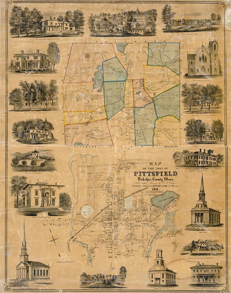
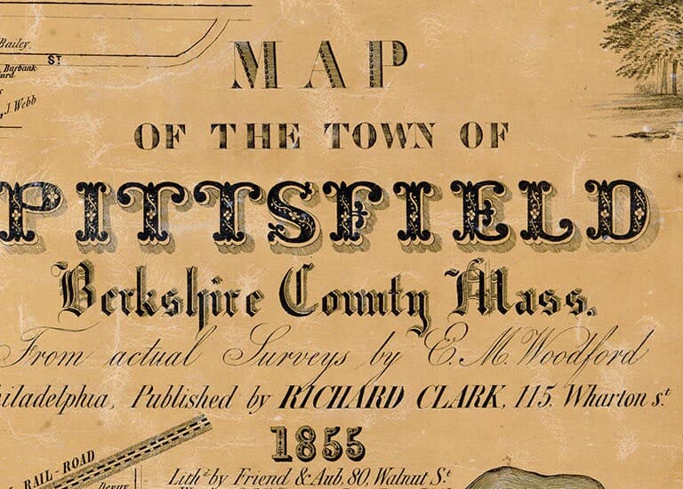
1855 Map of Pittsfield Berkshire County Massachusetts
$29.00
In stock
Description
1855 Map of Pittsfield Berkshire County Massachusetts
16" x 20" or 18" x 24" Full Color Map Reproduction
Plotted on Heavy Weight Matte Archival Paper or Kodak Fine Art Canvas.
Canvas prints have an additional one inch white border all the way around for mounting if needed.
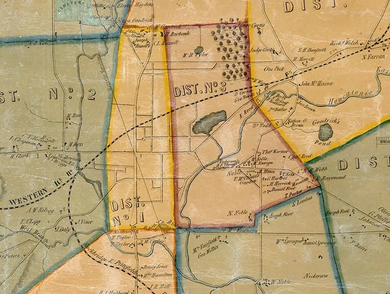
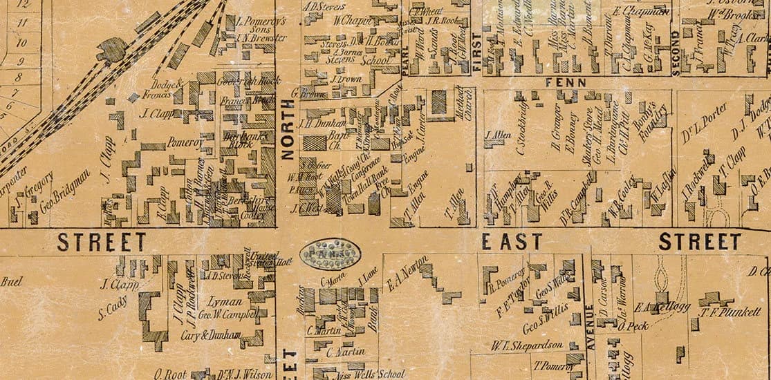
This is an early town map of Pittsfield showing roads, historic places, place names, family names, and more.
Perfect for research or display!We ship USPS and UPS. Free shipping and items of certain lengths are shipped UPS.