Etsy
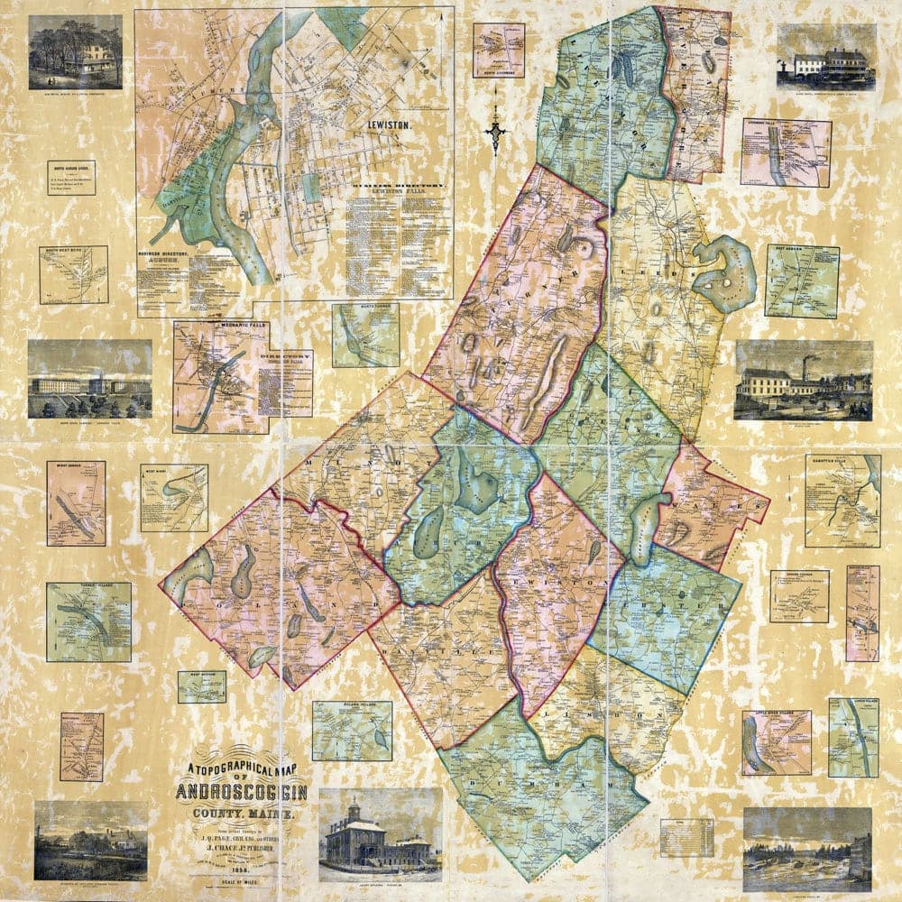
1858 Map of Androscoggin County Maine
$42.00
In stock
Description
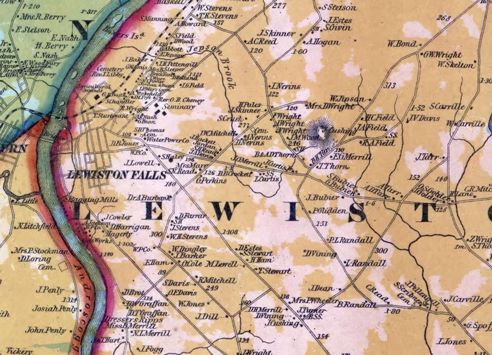
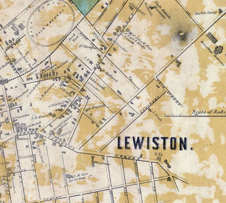
This large-format reproduction of an 1858 Androscoggin County map captures a rich layer of Maine's past, plotting historical settlements, family names, roads, and building locations across 40 by 40 inches. Printed on archival matte paper with a 200-year lifespan, it's suited for both display and genealogical research. The map arrives safely in a protective tube, ready to frame or study.