Etsy
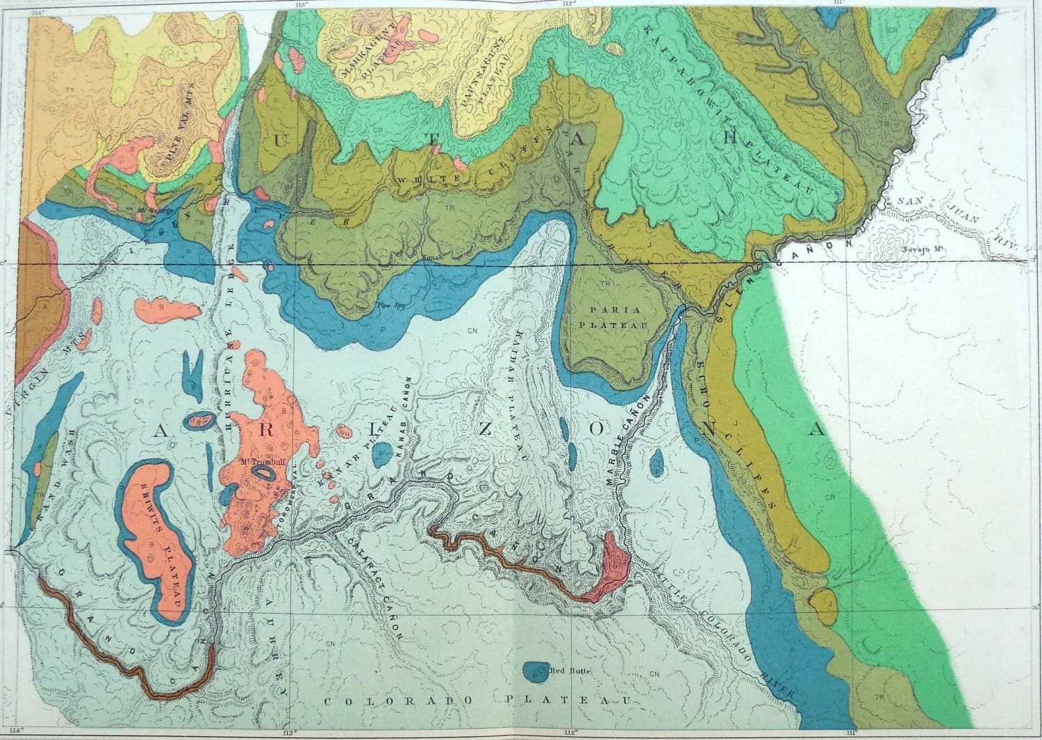
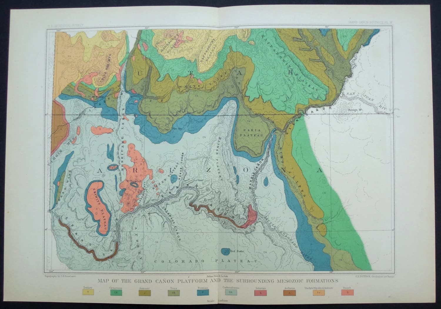
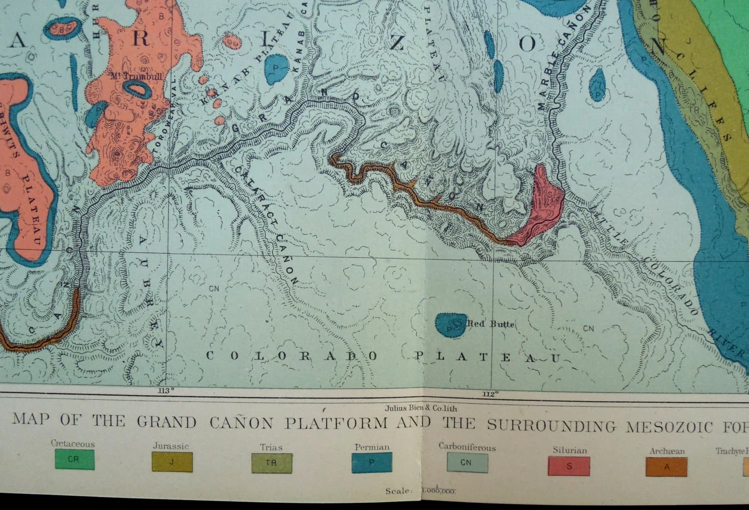
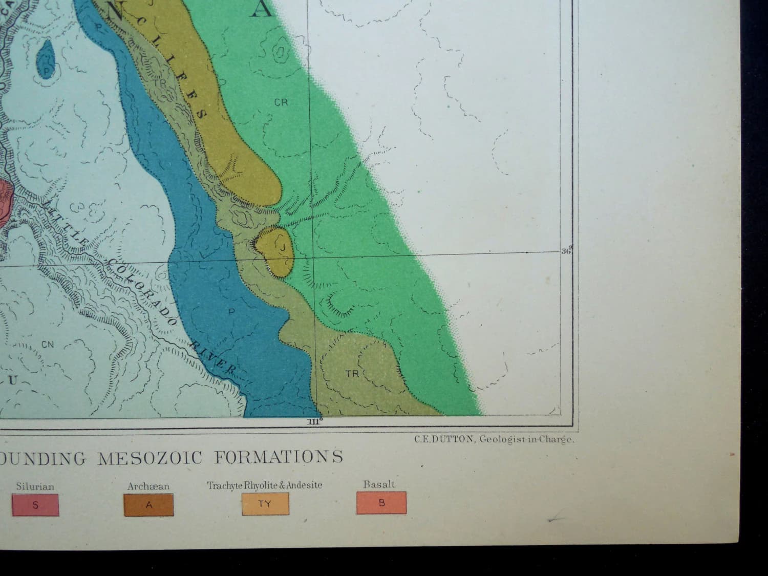
1882 Grand Canon (Canyon) Platform Antique Map, and Surrounding Mesozoic Formations. Original Lithograph. Clarence Dutton Report.
$343.99
In stock
Description
1882 Grand Canon (Canyon) Platform Antique Map, and Surrounding Mesozoic Formations. Original Lithograph. Clarence Dutton Report.
Published by the Government Printing Office, Washington DC in 1882 for the United States Geological Survey in "Tertiary History of the Grand Canon District With Atlas" by Clarence E. Dutton, Captain of Ordnance U.S.A. United States Geological Survey, J.W. Powell, Director. Washington: Government Printing Office 1882. Department of the Interior. Monographs of the United States Geological Survey, Volume II. Washington: Government Printing Office 1882.
An Excellent Turn-of the-century map for framing & display.
Size: Approx 16.5 X 11.25 inches (entire sheet), Printed Image Area a little smaller. One Fold in Center, as issued & Bound into Book.
Condition: Image Area is in Near Fine Condition, Margins are Very Good, showing some light handling and wear. See Photos. Due to the age of the item and the nature of antique paper, small imperfections are to be expected.
Returns: Any item may be returned for a refund. Please contact us within 14 days of receipt of your item if you feel an error has been made.
We do not deal in modern reproductions. All of our prints & maps are original and authentic. Please browse other prints & maps at our store.
Discover Maps!
Original maps for the collector, enthusiast & casual consumer.
As a collector & trader of maps and prints for the last 20 years, I've often found myself transfixed by an antique map. For me, these relics of a time long-past evoke images of exploration, discovery & adventure in a world that seemed limitless. They represent the best efforts of curious minds to define the boundaries of the world we inhabit. They tell the stories of long-crumbled empires & kingdoms that controlled vast dominions, as well as the tiny princely states & free cities that swarmed up in different times and places. Collectively, they show the rise and fall of powerful nation states, the demarcation of cultural and ethnic borders, the might of armies and the spread of languages, ideas, and cultures.
Before telephone, television, airplanes, email and computers, there was a time when the world was hungry for images of what was located beyond the next ocean, over the next river, behind tall mountains, and across the distant plains. This image-hungry world found nourishment in the same maps & prints that I proudly offer in my store.
Maps are not limited to ancient pieces that depict long-forgotten realms. Discover Maps offers a wide selection of maps from various timeframes, and it will be apparent to any visitor that I enjoy the details, coloring and modernism of maps by Julius Bien, Thomas Sinclair, A. Hoen, and George Harris, all of whom printed maps in the late 1800's and early 1900's. As pioneers of chromolithography, the innovative efforts of these mapmakers permitted incredible detail, vibrant colors, and larger production runs. Oftentimes, these lithographers worked under the auspices of geographers and geologists of the United States Geological Survey (USGS). Given the task of locating railroad routes, harbors, navigable rivers and mineral deposits, USGS expeditions fanned out across the country. These expeditions documented the geology, topography, fauna, flora, fossils and indigenous cultures of the United States of America. The maps that resulted from these expeditions are important not only for their technical detail and their role in the economic development of the United States, but also for their artistry and beauty.
I offer a wonderful selection of maps and prints from the 16th Century to the 20th Century, all guaranteed original. I do not sell copies, digital downloads or reproductions. I add items to my store on a daily basis, and hope that you will visit often and explore the mapped world.