Etsy
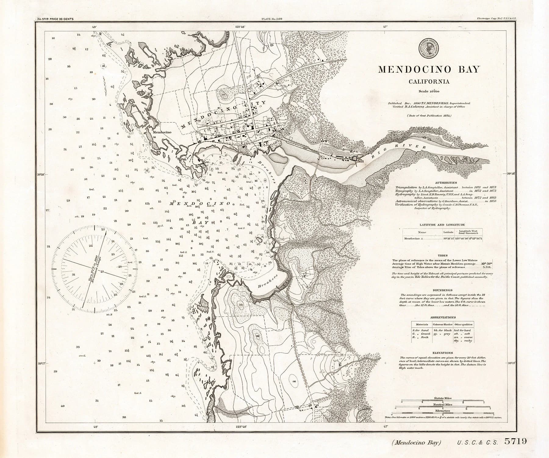
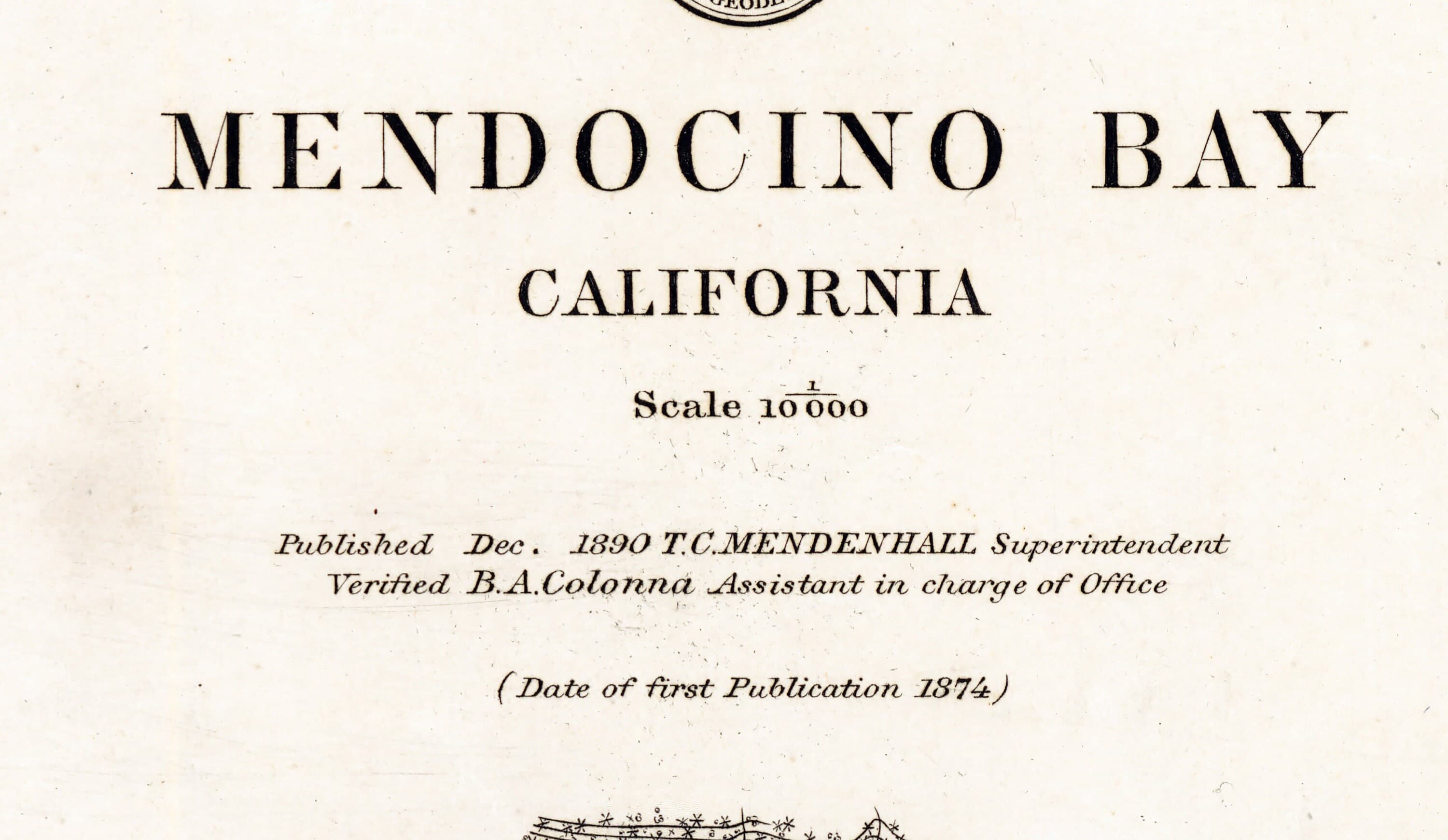
1890 Nautical Chart of Mendocino Bay California
$29.00
In stock
Description
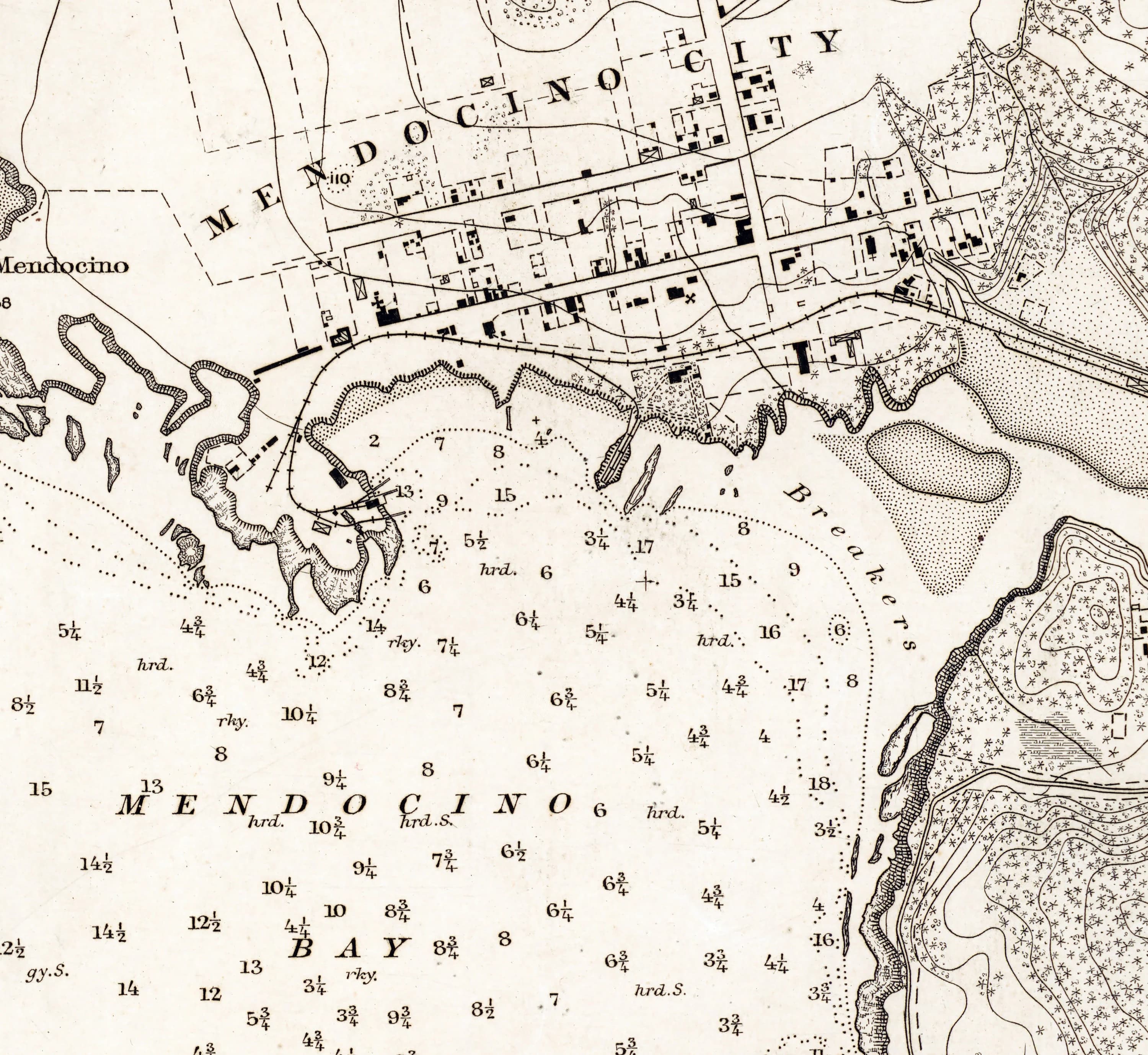
This 1890 nautical chart of Mendocino Bay captures California's rugged coastline with the precision and detail of 19th-century cartography—water depths, shorelines, terrain, and settlement markers all rendered in full color. Available in three sizes on archival matte paper or fine art canvas, it's equally suited to a study wall, living room, or as a reference for history enthusiasts and maritime researchers. The canvas option includes a one-inch white border for straightforward mounting.