Private beta. Public launch Dec 31, 2026. Browse freely — feedback welcome at feedback@halalapalooza.com.

Halalapalooza
Home/Products/1892 Nautical Chart of Robinsons Hole and Quicks Hole Massachusetts
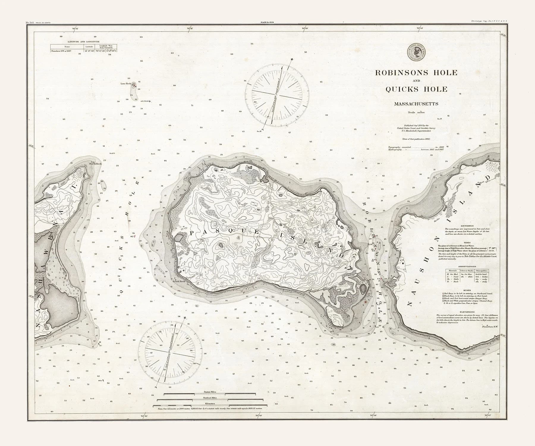
1892 Nautical Chart of Robinsons Hole and Quicks Hole Massachusetts
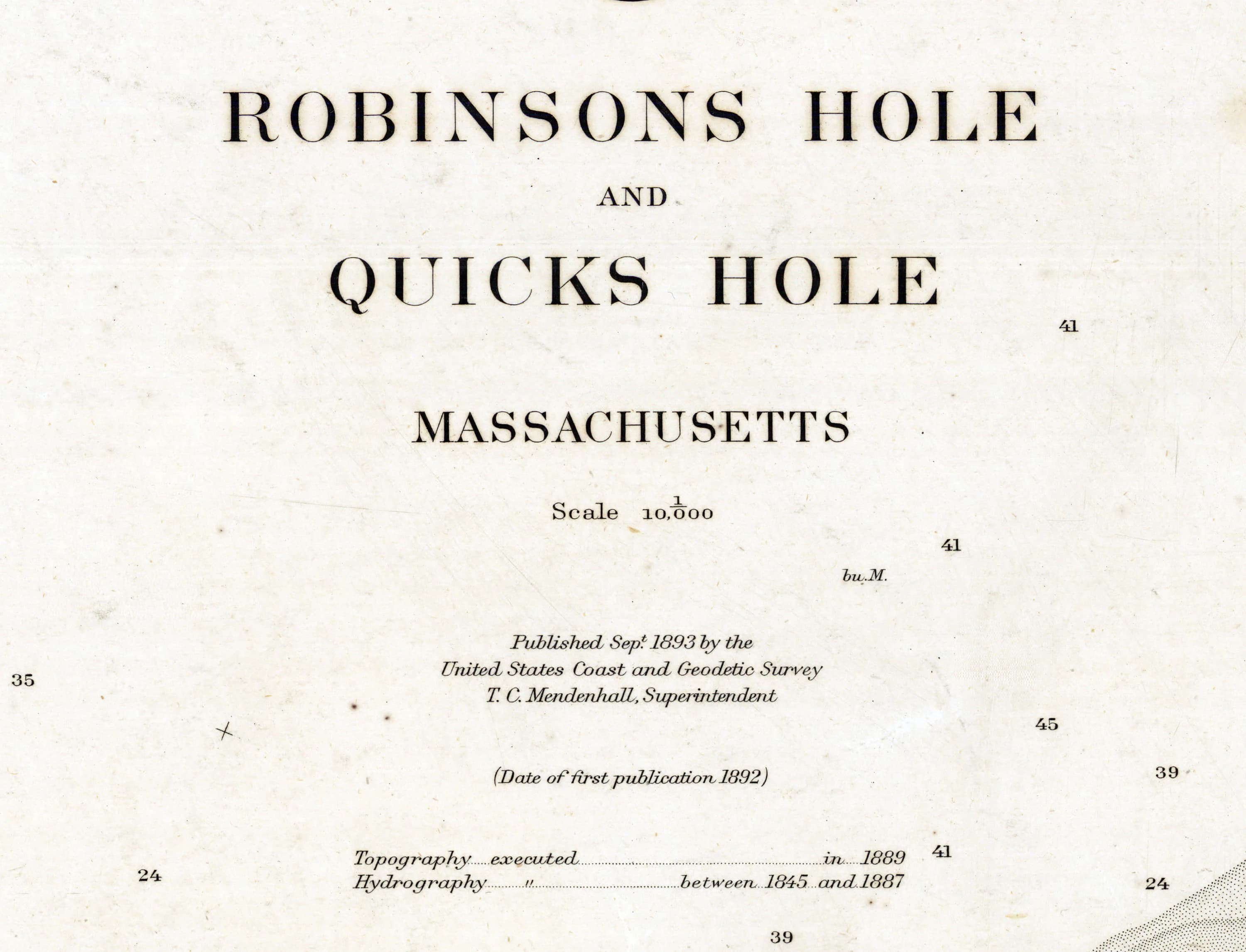
1892 Nautical Chart of Robinsons Hole and Quicks Hole Massachusetts - image 2
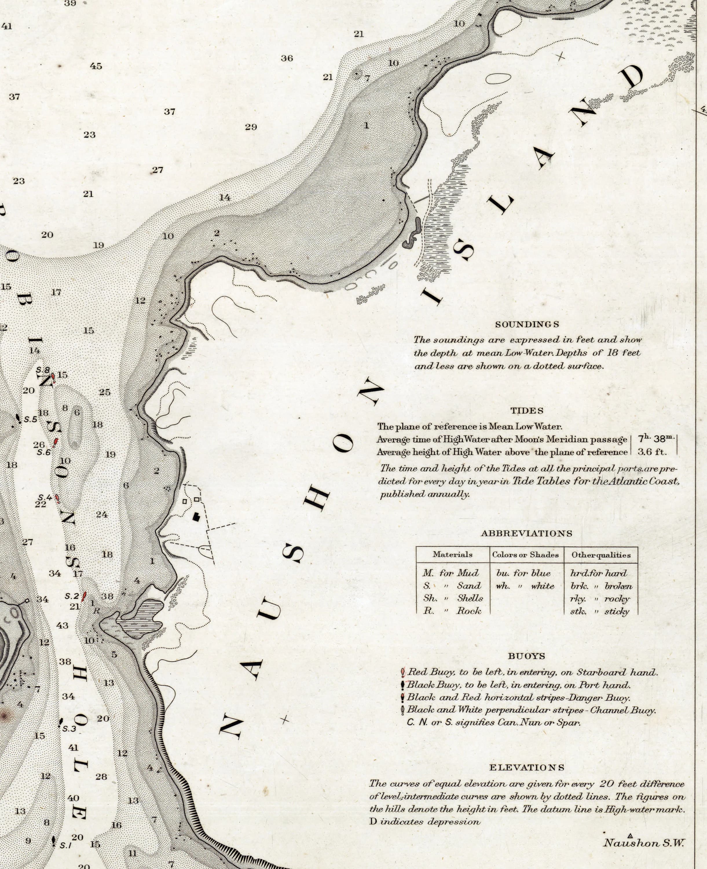
1892 Nautical Chart of Robinsons Hole and Quicks Hole Massachusetts - image 3
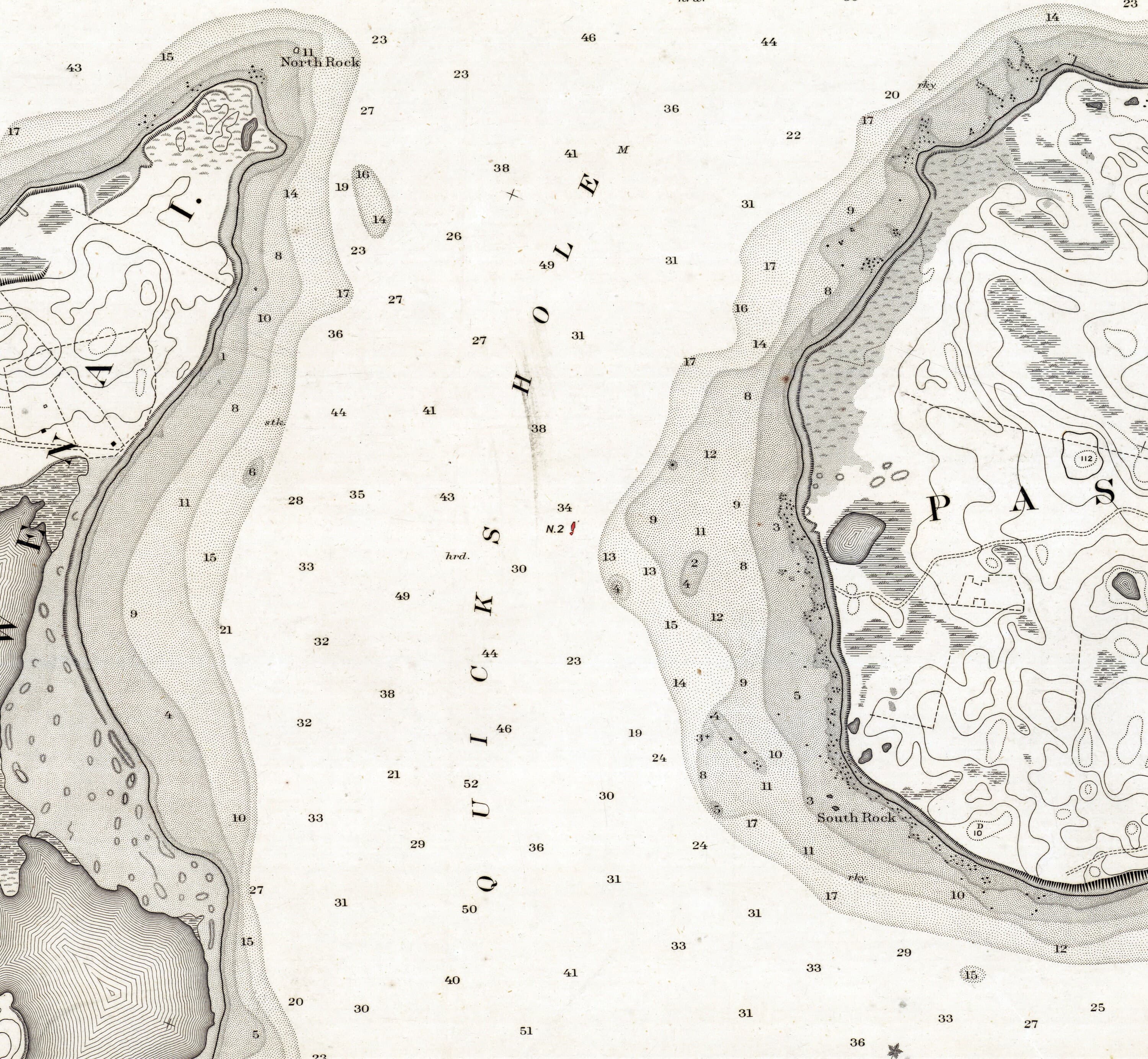
1892 Nautical Chart of Robinsons Hole and Quicks Hole Massachusetts - image 4
1892 Nautical Chart of Robinsons Hole and Quicks Hole Massachusetts - image 5
Etsy

1892 Nautical Chart of Robinsons Hole and Quicks Hole Massachusetts

$29.00

In stock

Description

This 1892 nautical chart captures the intricate waterways of Robinsons Hole and Quicks Hole in Massachusetts with the precision of period mapmaking, showing water depths, shorelines, islands, and coastal structures. Available in two sizes and printed on archival matte paper or fine art canvas, it serves equally well as a striking wall piece or a reference for maritime history enthusiasts. The canvas option includes a built-in white border for easy mounting.