Etsy
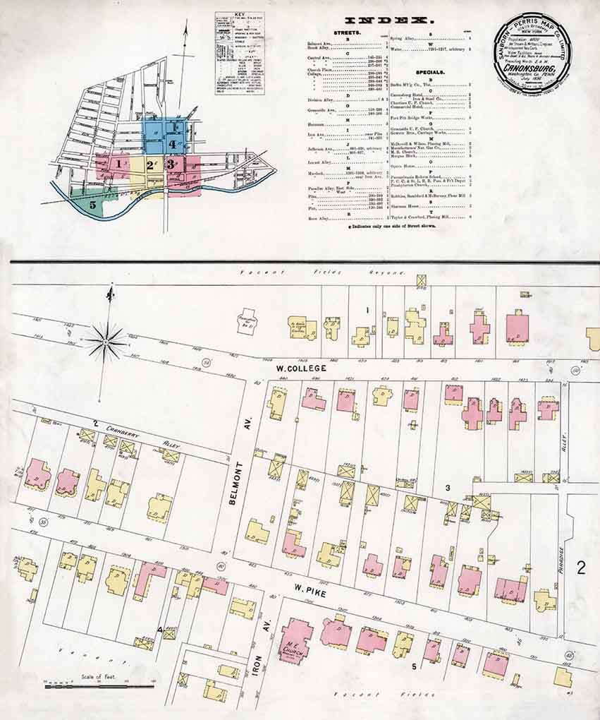
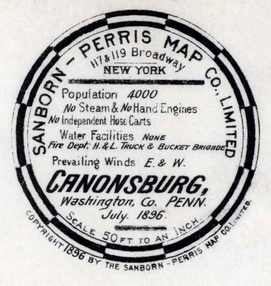
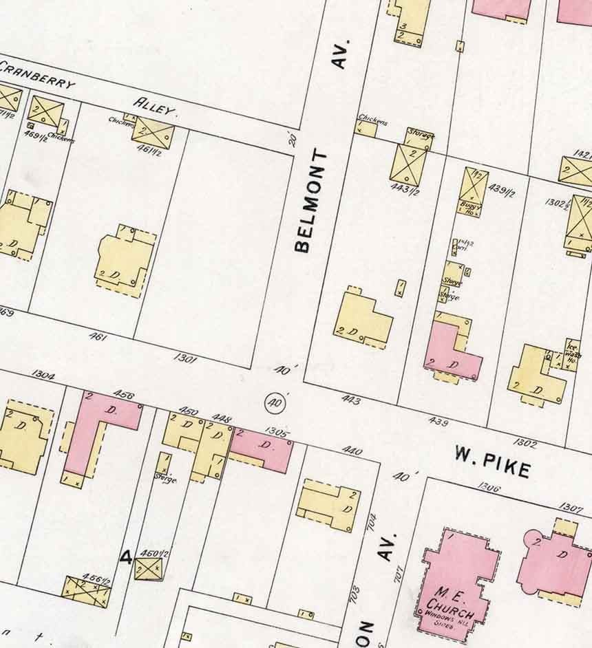
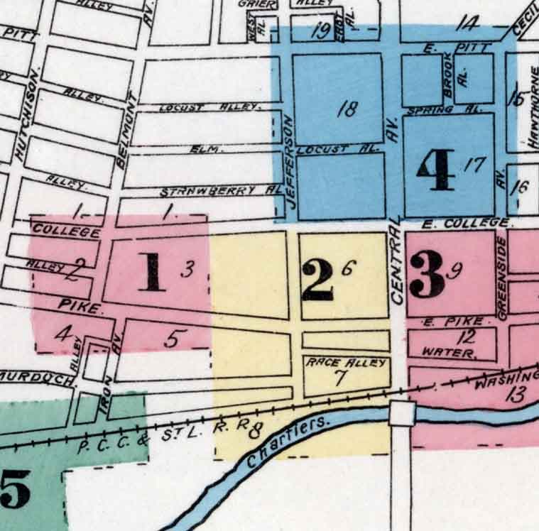
1896 Sanborn Map of Canonsburg Washington County Pennsylvania
$26.00
In stock
Description
This 1896 Sanborn map captures a detailed snapshot of Canonsburg, Pennsylvania, showing street layouts, building footprints, and neighborhood structure from the turn of the century. Printed on archival matte paper or fine art canvas in three sizes (16" x 20", 20" x 24", or 30" x 36"), it's suitable for both historical research and home display. A thoughtful piece for those with roots in the region or an interest in American urban history.