
Etsy
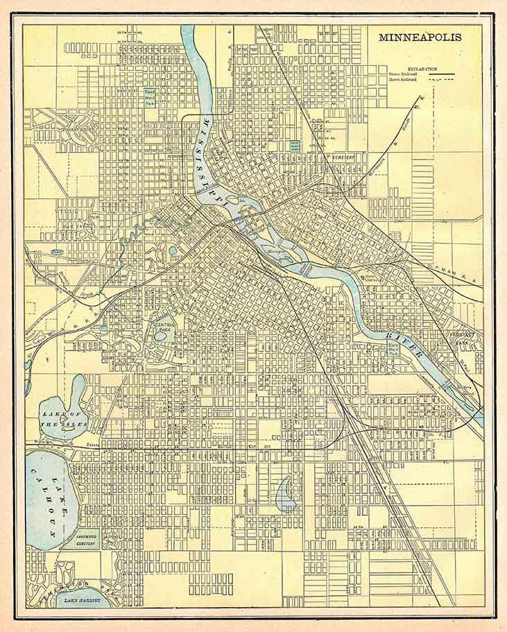
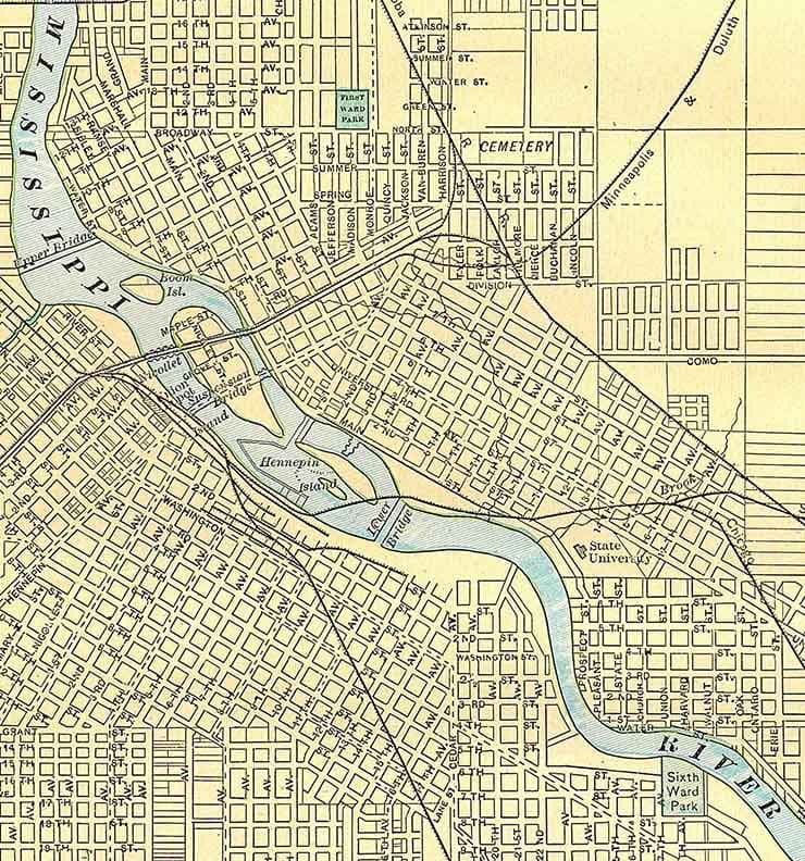
1900 Map of Minneapolis Minnesota Mississippi River
$23.00
In stock
Description
1900 Map of Minneapolis Minnesota Mississippi River
14” x 18”, 16” x 20”, or 24” x 30” Full Color Reproduction
Plotted on Heavy Weight Archival Matte Paper
Also available in Kodak Fine Art Canvas. Canvas has an additional one inch border.
This map shows lakes, roads, street names, properties, railways, and much more!
This map is shipped safely in a map tube!
Great for display & research!We ship USPS and UPS. Free shipping and items of certain lengths are shipped UPS.