Etsy
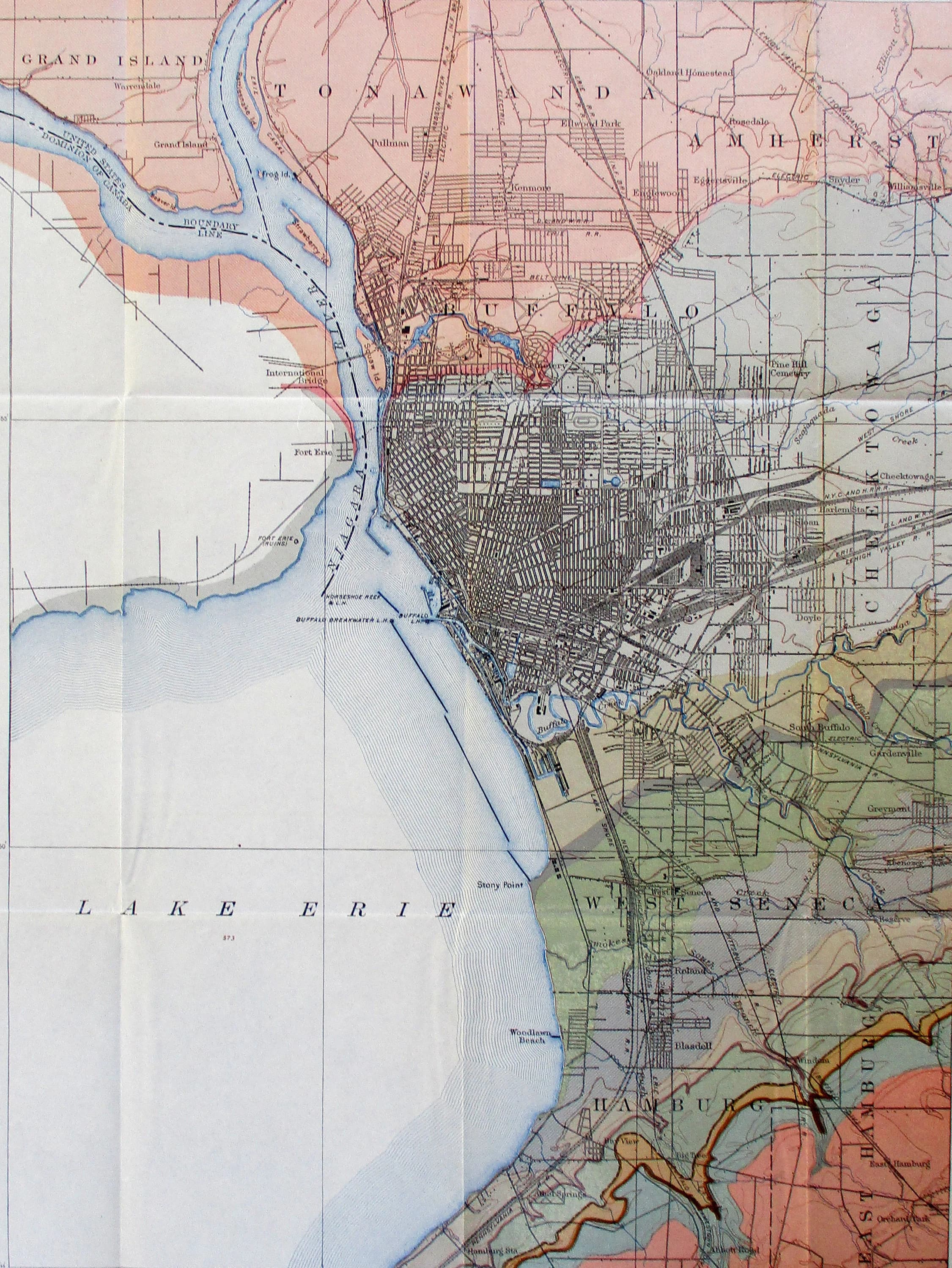
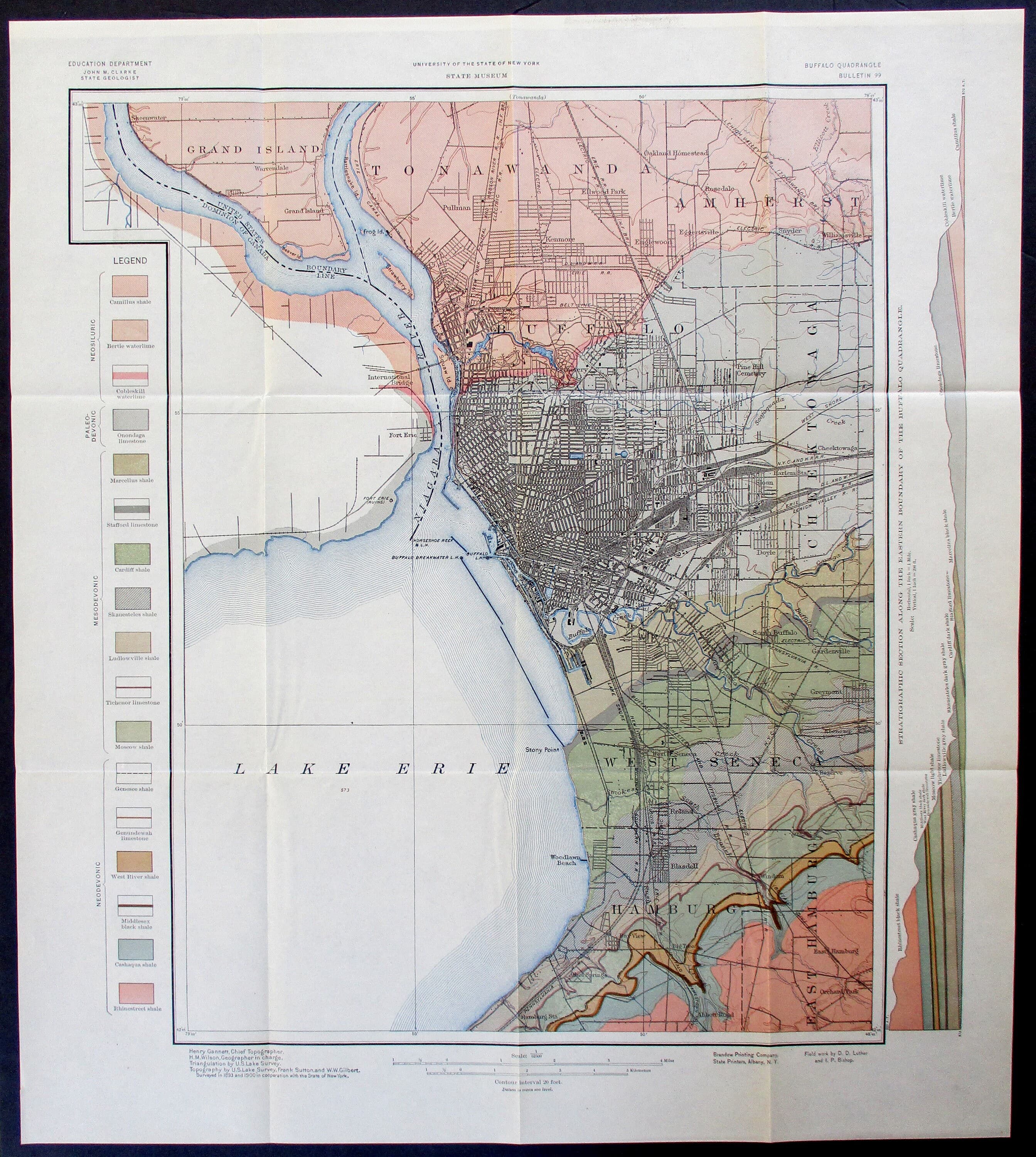
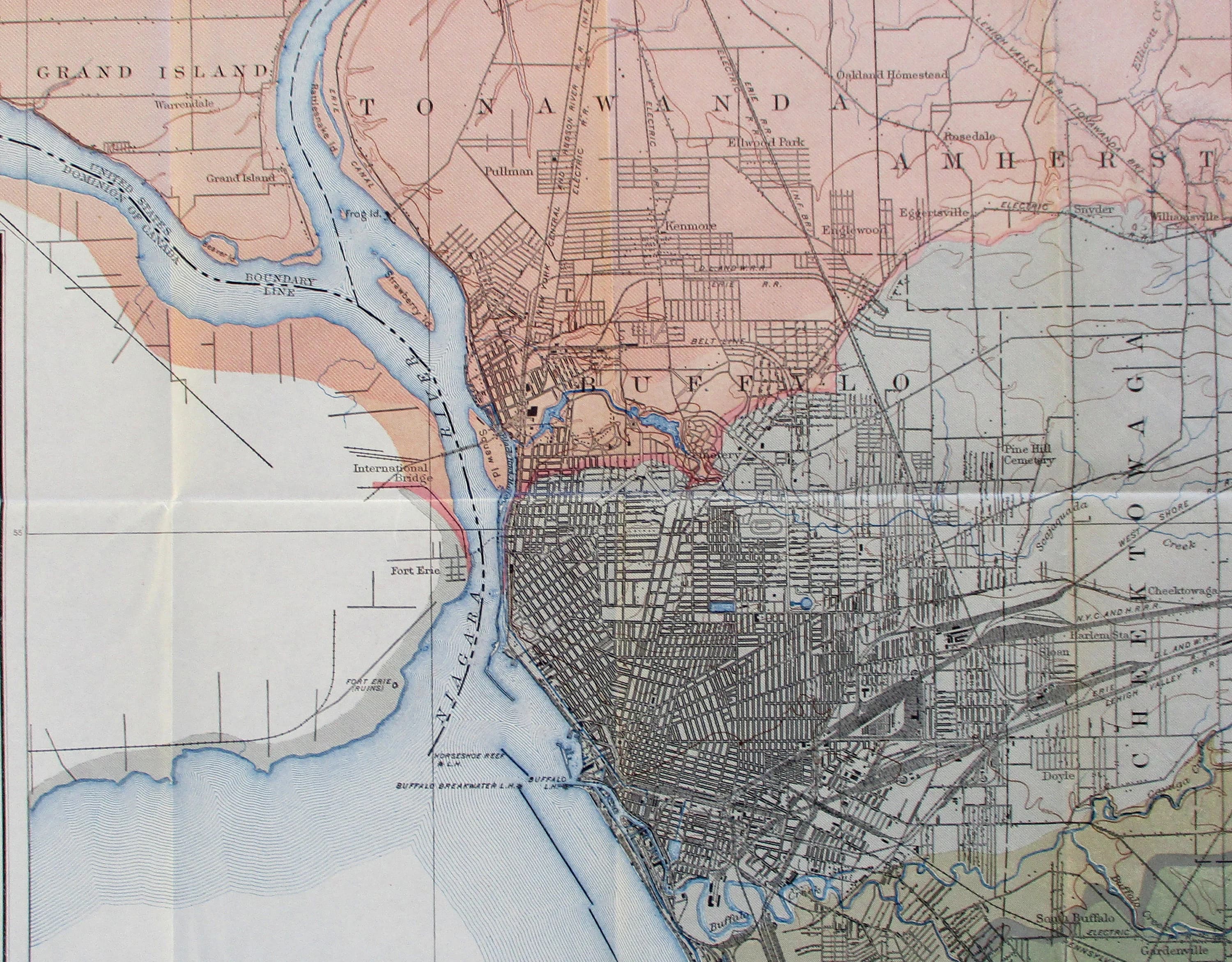
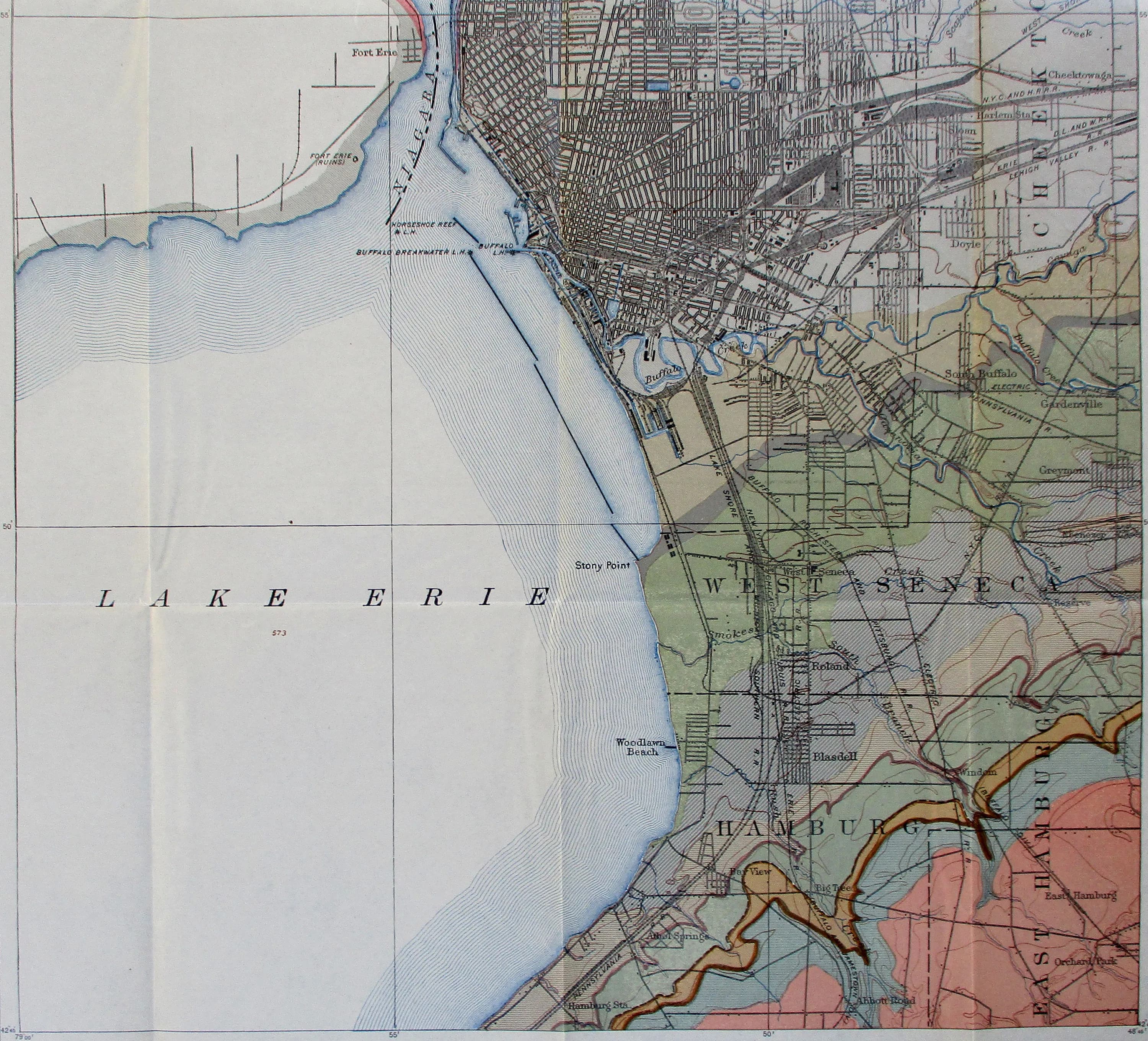
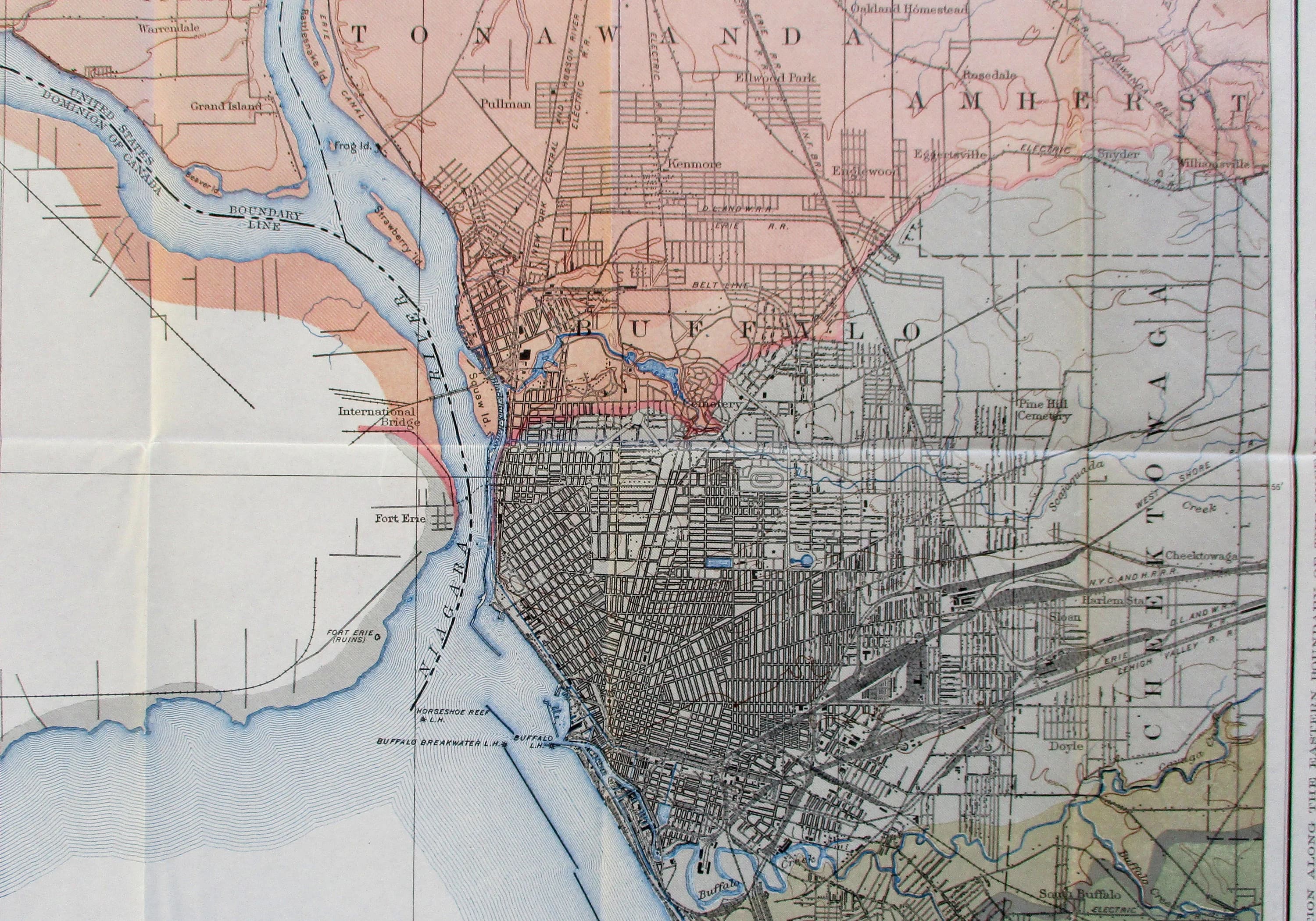
1906 Buffalo New York, Lake Erie. Niagara River, Tonawanda, West Seneca, International Bridge, Hamburg. Geological Map. Original Antique
$75.00
In stock
Description
This 1906 geological map of the Buffalo quadrangle is an original USGS survey that charts Lake Erie, the Niagara River, and surrounding communities with color-coded geological detail. Published by the State Museum of New York, it shows the authentic wear of over a century—fold lines and a faint library stamp on the reverse—that speak to its history as a working reference document. At approximately 21 by 19 inches, it's a substantial piece for framing, offering both cartographic interest and a tangible connection to how this region was understood and mapped at the turn of the last century.