
Etsy
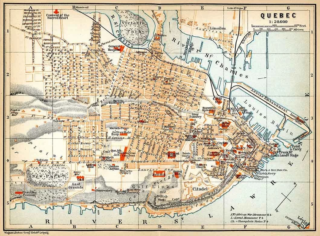
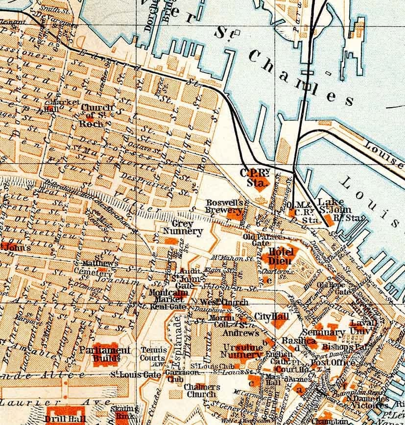
1907 Map of Quebec City Canada
$26.00
In stock
Description
This 1907 map of Quebec City captures the historic urban landscape in impressive detail, showing streets, buildings, parks, and waterways as they existed over a century ago. Available in three sizes (16" x 22", 22" x 30", or 28" x 38") and printed on archival matte paper or fine art canvas, it makes a striking addition to a home library or study. Whether you're researching family history, appreciating historical geography, or displaying a meaningful piece of your heritage, this reproduction arrives safely in a protective map tube.