Etsy
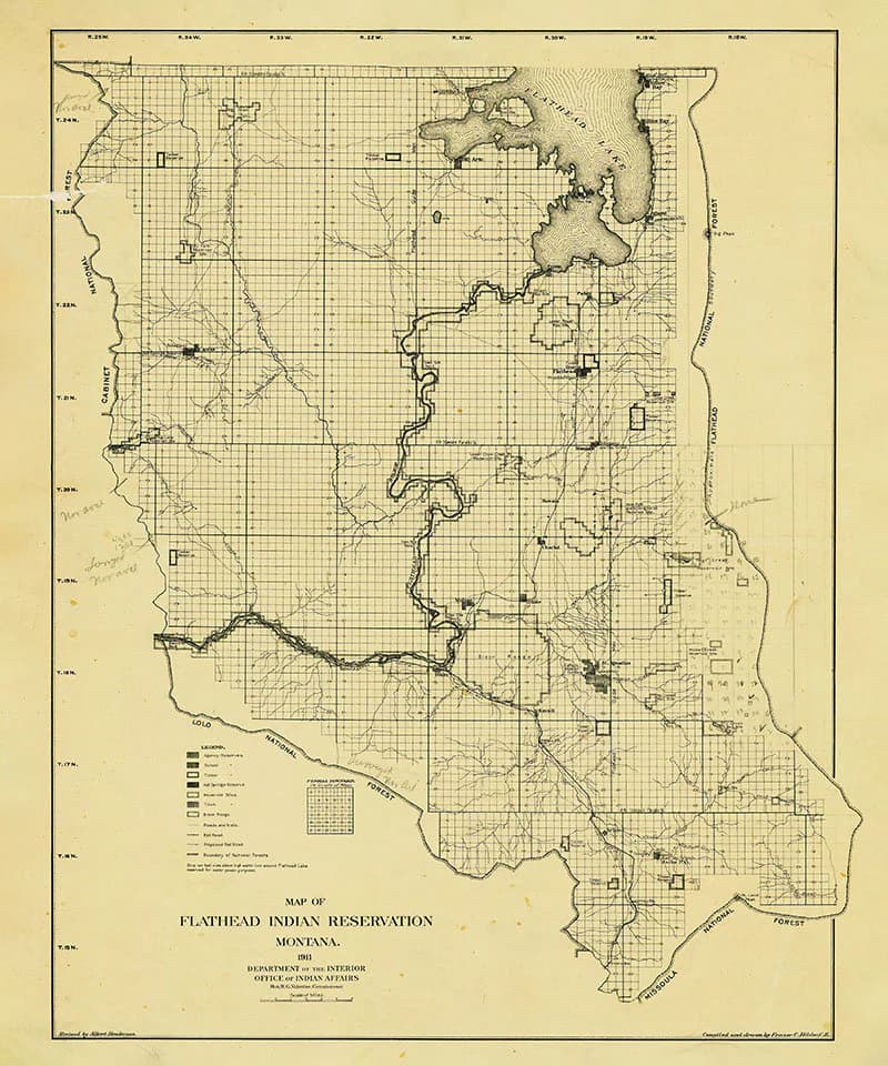
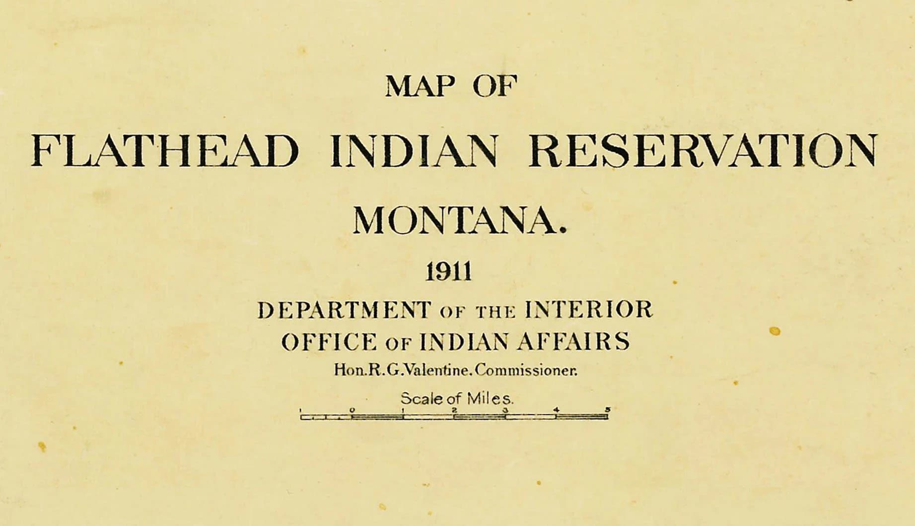
1911 Map of Flathead Indian Reservation Montana
$35.00
In stock
Description
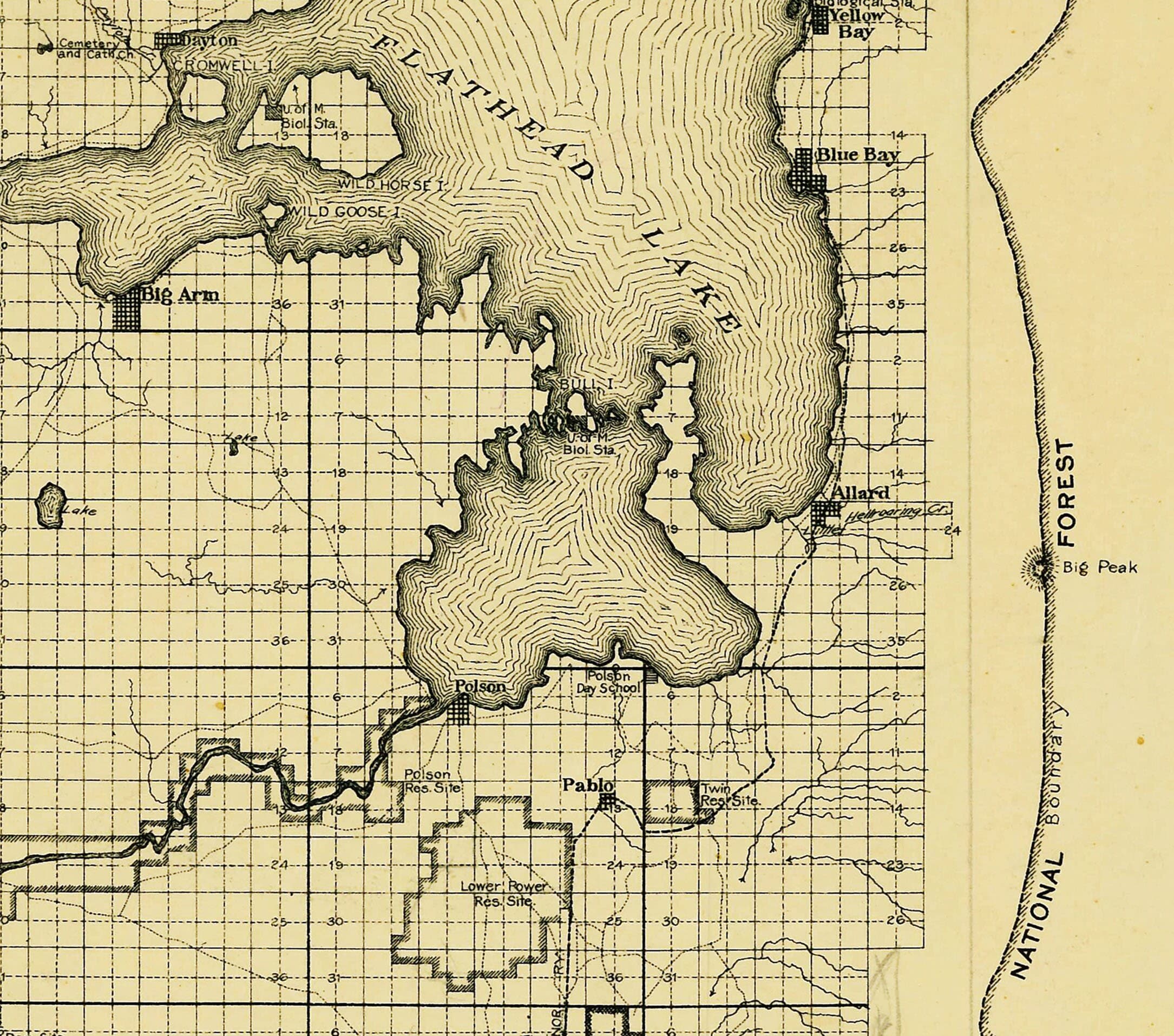
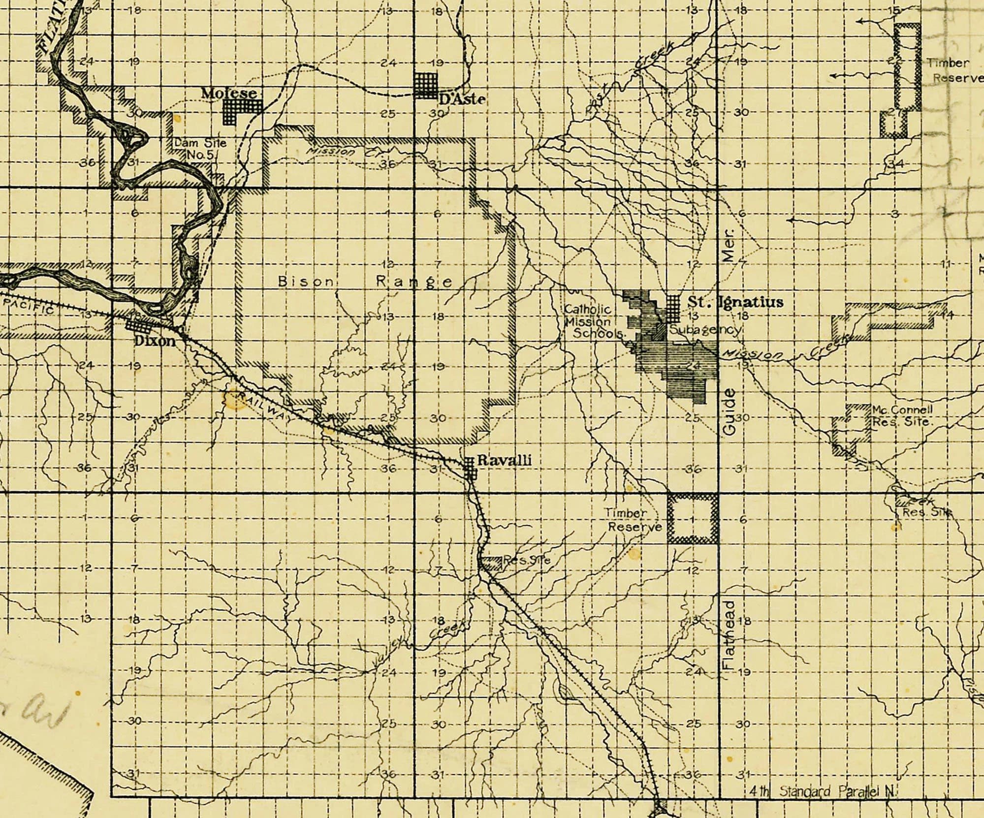
This 1911 map reproduction captures a detailed moment in the history of the Flathead Indian Reservation in Montana, charting waterways, roads, trails, railroads, towns, and tribal lands with the precision of early twentieth-century cartography. Available in two sizes and printed on archival matte paper or fine art canvas, it's suited for both display and research. The canvas option includes a one-inch white border for flexible mounting, and the map arrives safely in a protective tube.