Etsy
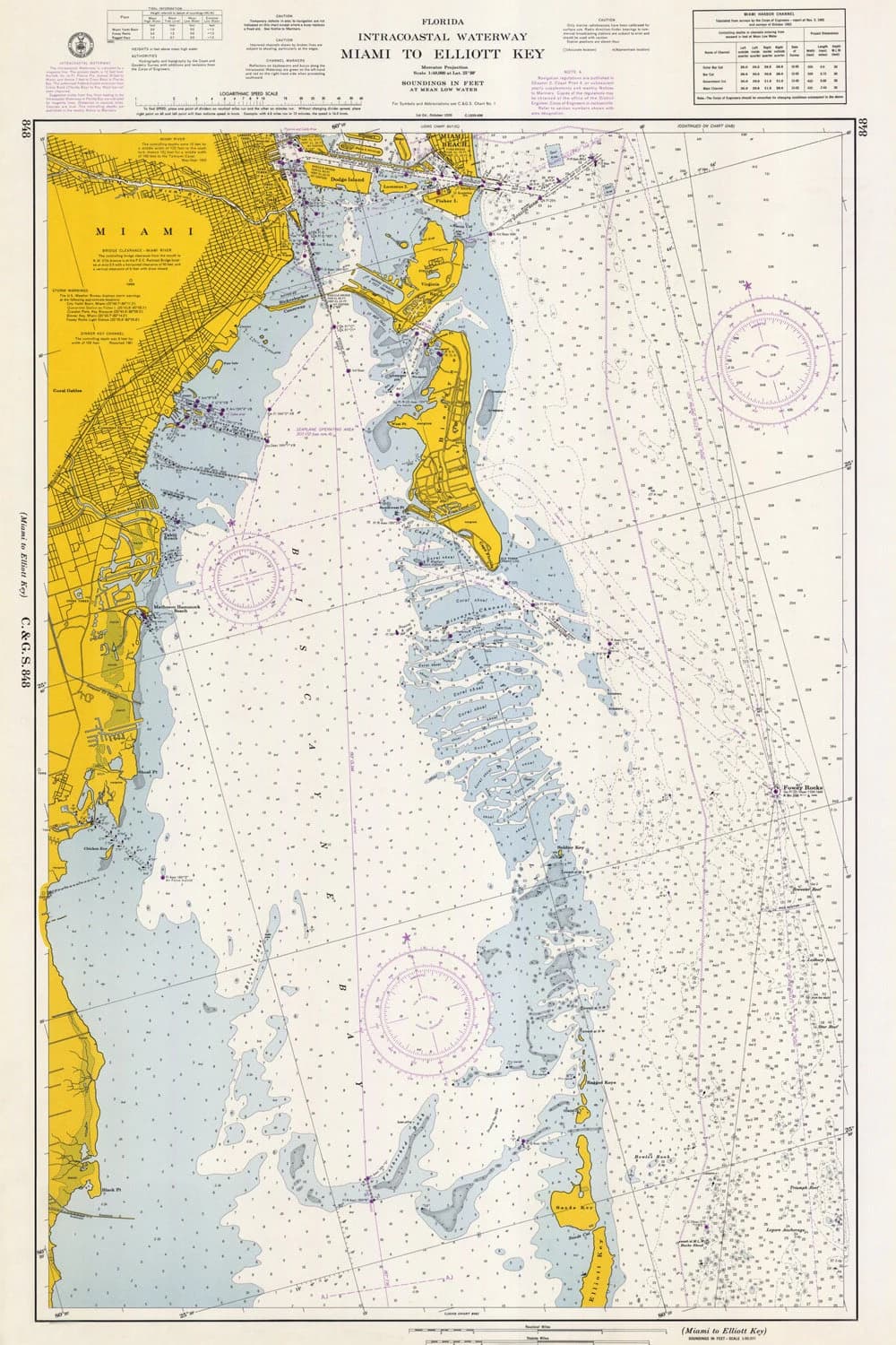
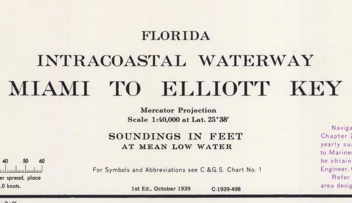
1966 Nautical Map of Miami to Elliot Key & Key Biscayne
$28.00
In stock
Description
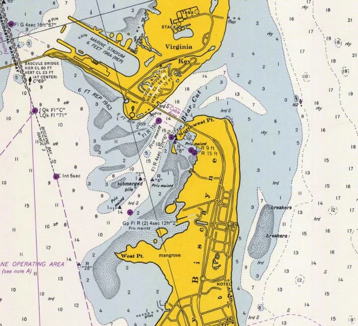
This 1966 nautical map captures Miami's coastline from the mainland to the Keys with detailed markings of water depths, elevations, and coastal features. Printed on heavyweight archival matte paper at 20 by 30 inches, it's substantial enough to frame as wall décor or reference for research and historical study. The reproduction arrives rolled in a protective tube, ready to display or preserve.