Etsy
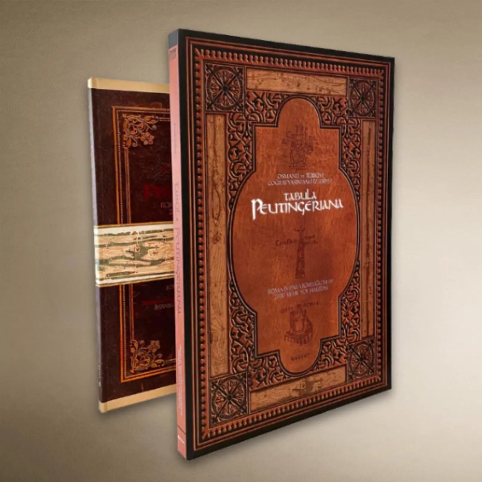
Tabula Peutingeriana Roman Map Facsimile, Ancient World Road Map Scroll
$750.00
In stock
Description
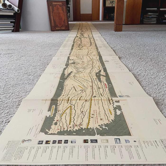
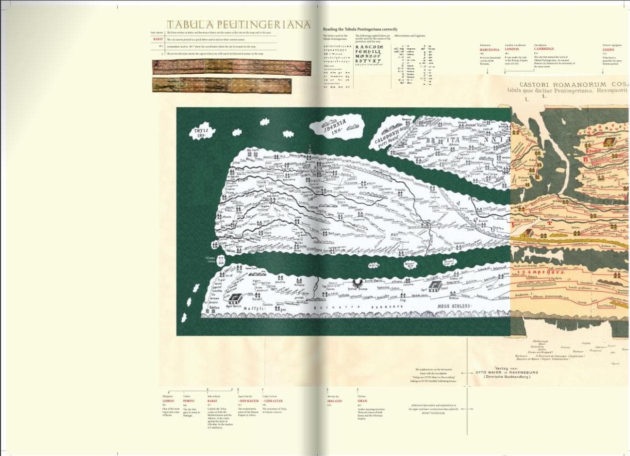
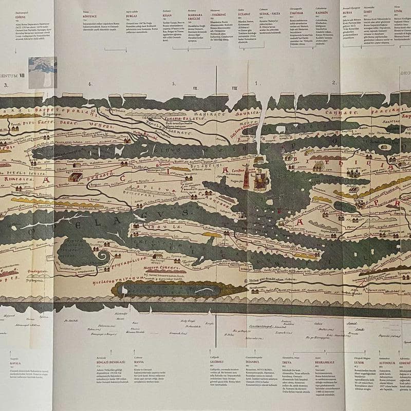
This facsimile reproduces one of history's most remarkable cartographic artifacts: a 7-meter-long Roman road map from the first to third centuries AD, meticulously preserved for nearly two millennia. The Turkish edition, prepared with scholarly commentary on Ottoman and Turkish geography, reveals how Constantinople, Antakya, Izmit, and Iznik were positioned as centers of the known world, offering insight into how the ancient Mediterranean and Near East were understood and connected. Printed and bound with archival techniques, it unfolds as a single continuous map and serves as both a historical document and a visually compelling representation of empire, trade routes, and cultural geography during a transformative period.